Global measurements
We can take measurements in different terrains (mountains, countryside, cities *, etc.) and from different devices.

We measure different types of signal and coverage.
We process the data and check the coverage and signal strength on an interactive map.
By using Uav’s for taking measurements, we can take data anywhere.
Check the quality of your service or your provider to guarantee customer satisfaction and quality of service.
start a project with usWe can take measurements in different terrains (mountains, countryside, cities *, etc.) and from different devices.
We check the quality of your work network in your complex of buildings or industrial warehouses.
Our user interface is intuitive and friendly for a better understanding of the results and their analysis.
Use Drones to take measurements in 3 dimensions of the terrain and be able to access all places.
Measurements can be taken with different “vehicles” thanks to Galendrone’s modular system.
Measurements can be displayed on a map to check coverage interactively and graphically in a specific area or on a route.
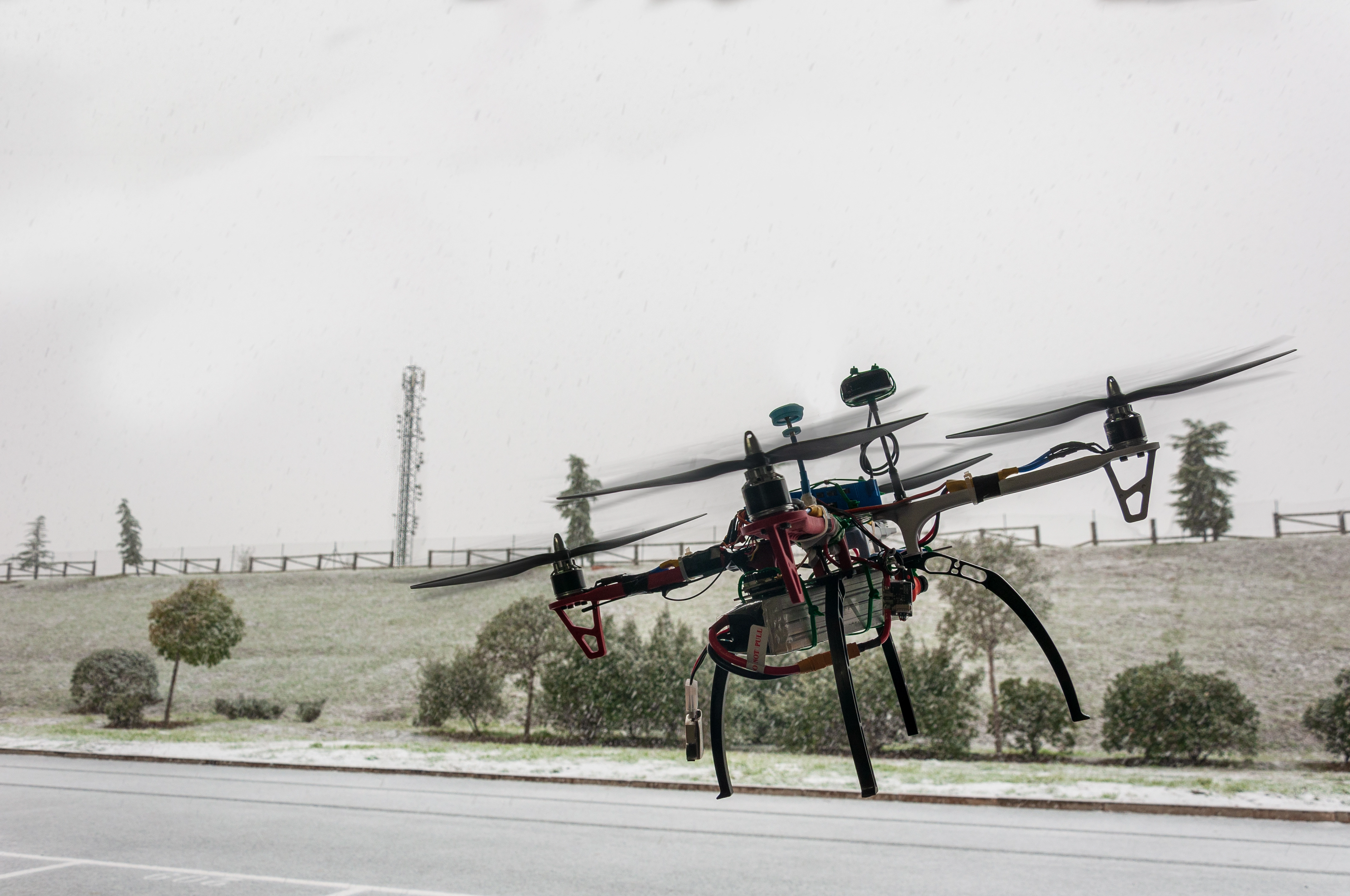
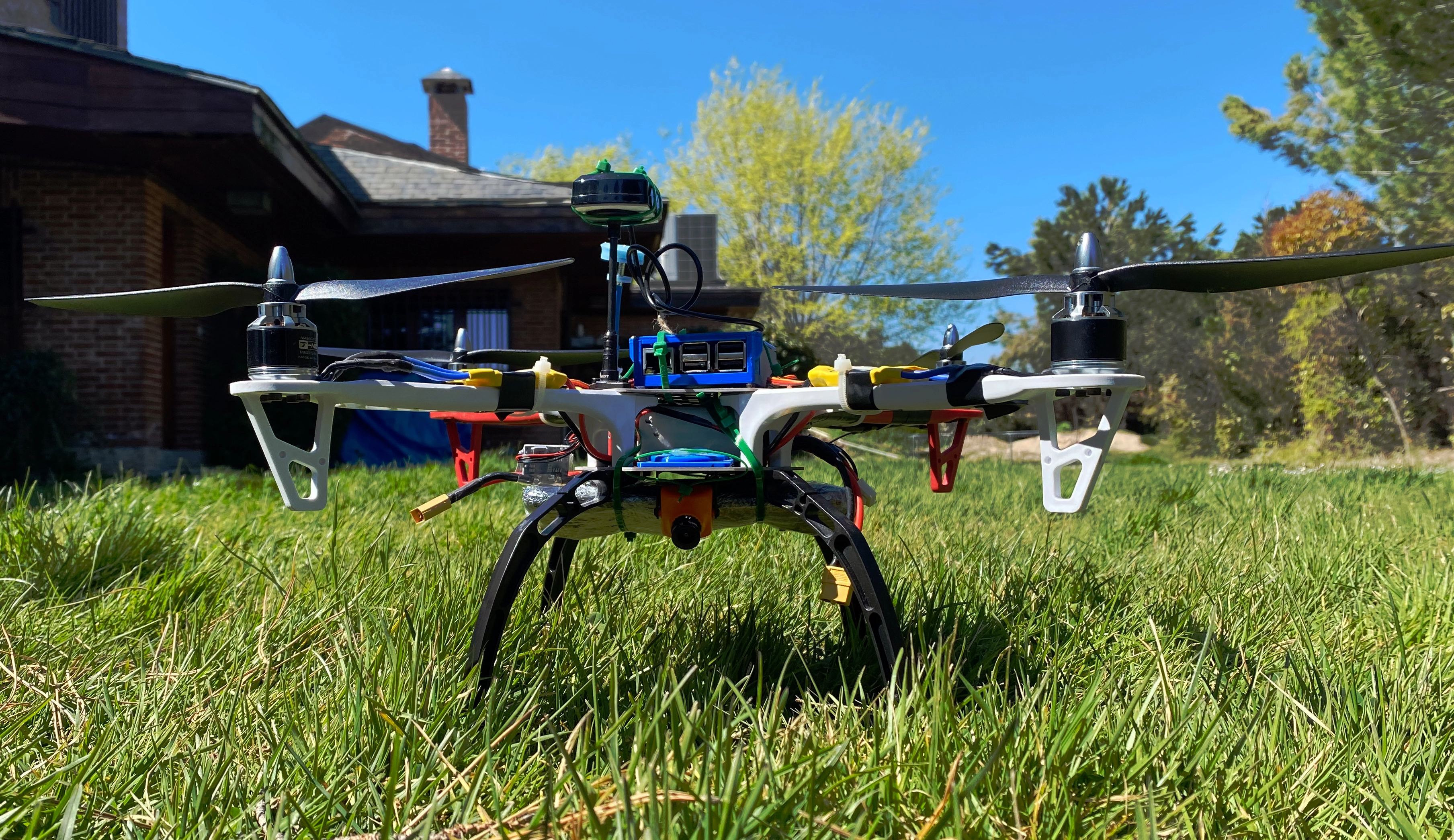
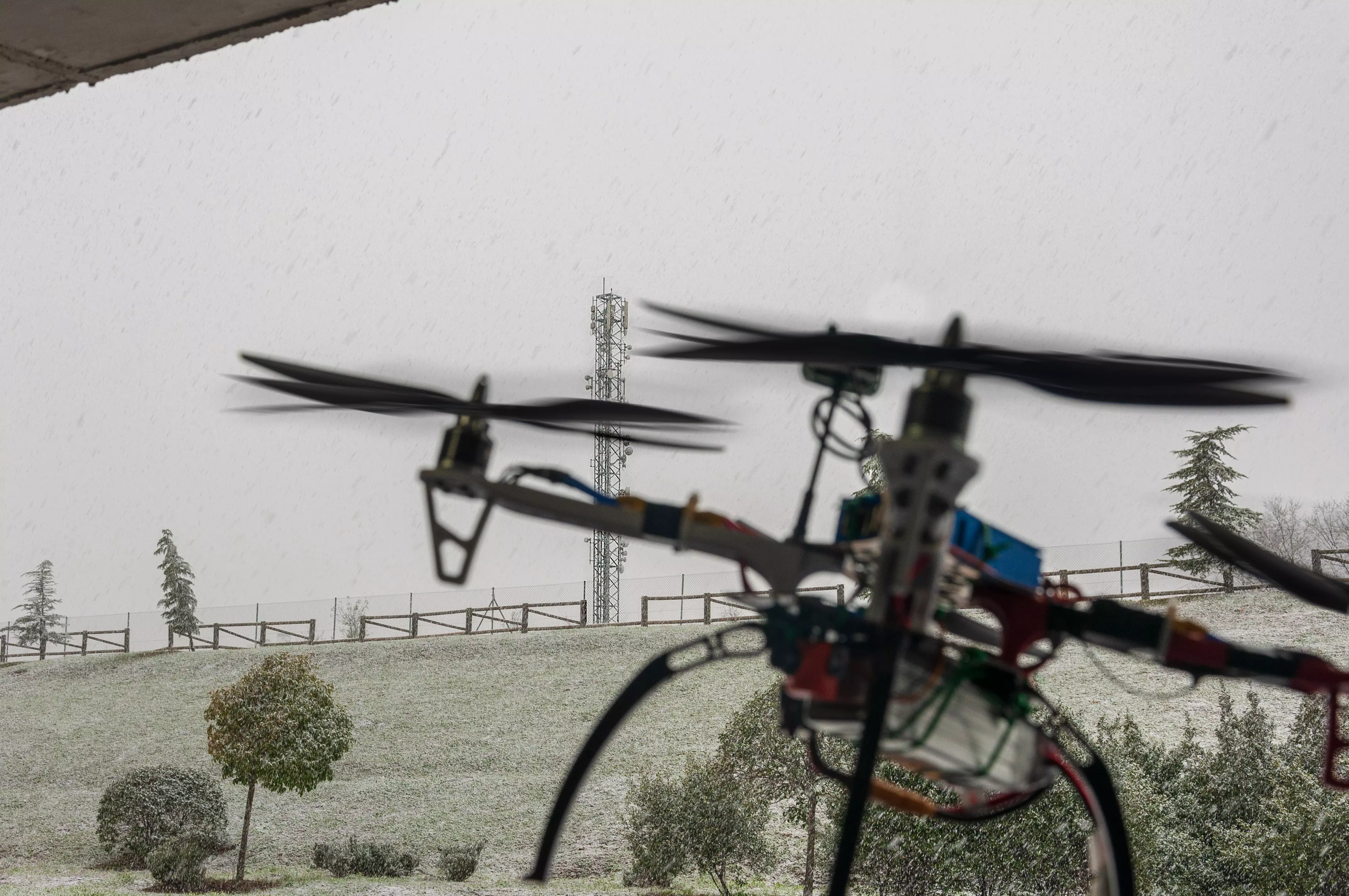
First field tests with functional prototype These have been the first tests that have been carried out outdoors with a functional drone prototype.
Read morewe want to thank the support. We want to thank the support and recognition that our colleagues from the Polytechnic University of Madrid (UPM) have given us on their website and their social networks on Twitter.
Read moresystem preparations These are the steps we have followed for the first measurements with the system and presentation of the prototype.
Read morePuedes contactar con nosotros rellenando este formulario o en nuestra sede en Madrid.


